For me, volunteering to check map routes for the YHA Festival of Walking allowed me to re-discover the joy of hostelling and getting out into nature. The fresh air, exercise and change of scenery worked wonders for my physical and mental health.
I have been a keen supporter of YHA for a long time. My journey started aged 16, when along with two friends, I spent a week cycling and hostelling around the Isle of Wight to celebrate the end of my O-levels. Hostelling back then was quite different to how it is now. Guests were expected to join in with chores around the hostel such as peeling vegetables for dinner, cooking and cleaning the dormitories.
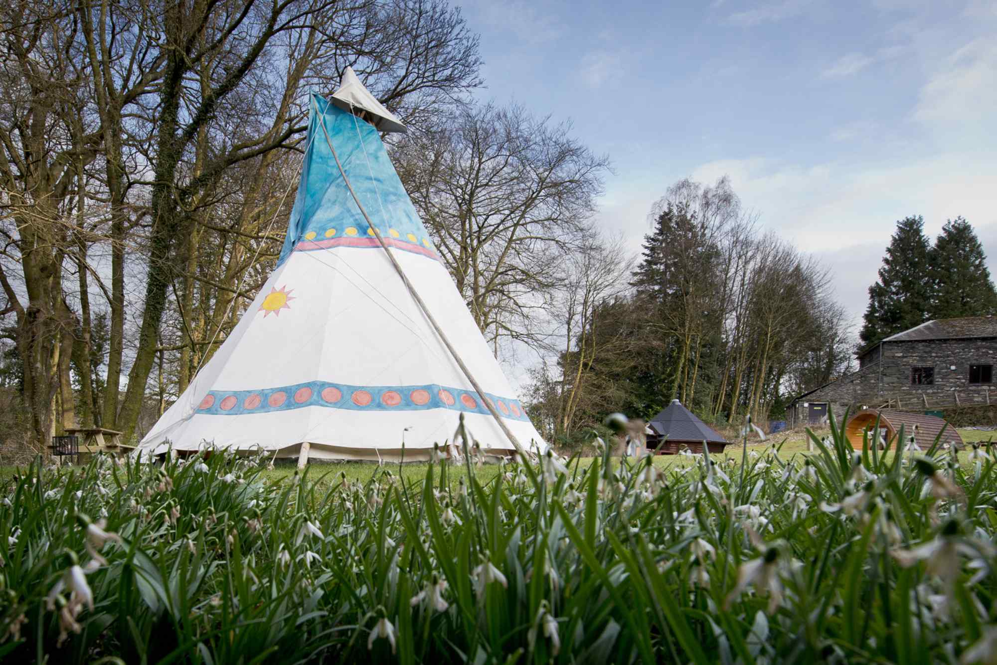
After a long gap I rediscovered hostelling by accident. I needed to stay in Lyme Regis with my two teenage daughters overnight and could not find any affordable accommodation there. I widened my search and found YHA Beer, nearby a pretty fishing village that I had been to on holiday with my parents as a teenager. We booked into a bell tent and had a fabulous time.
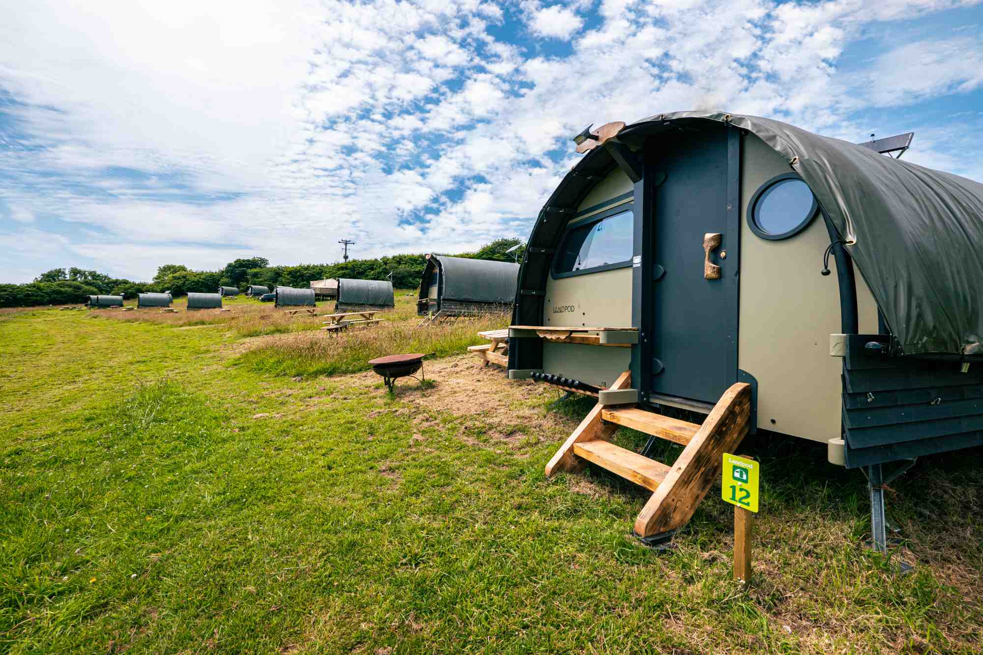
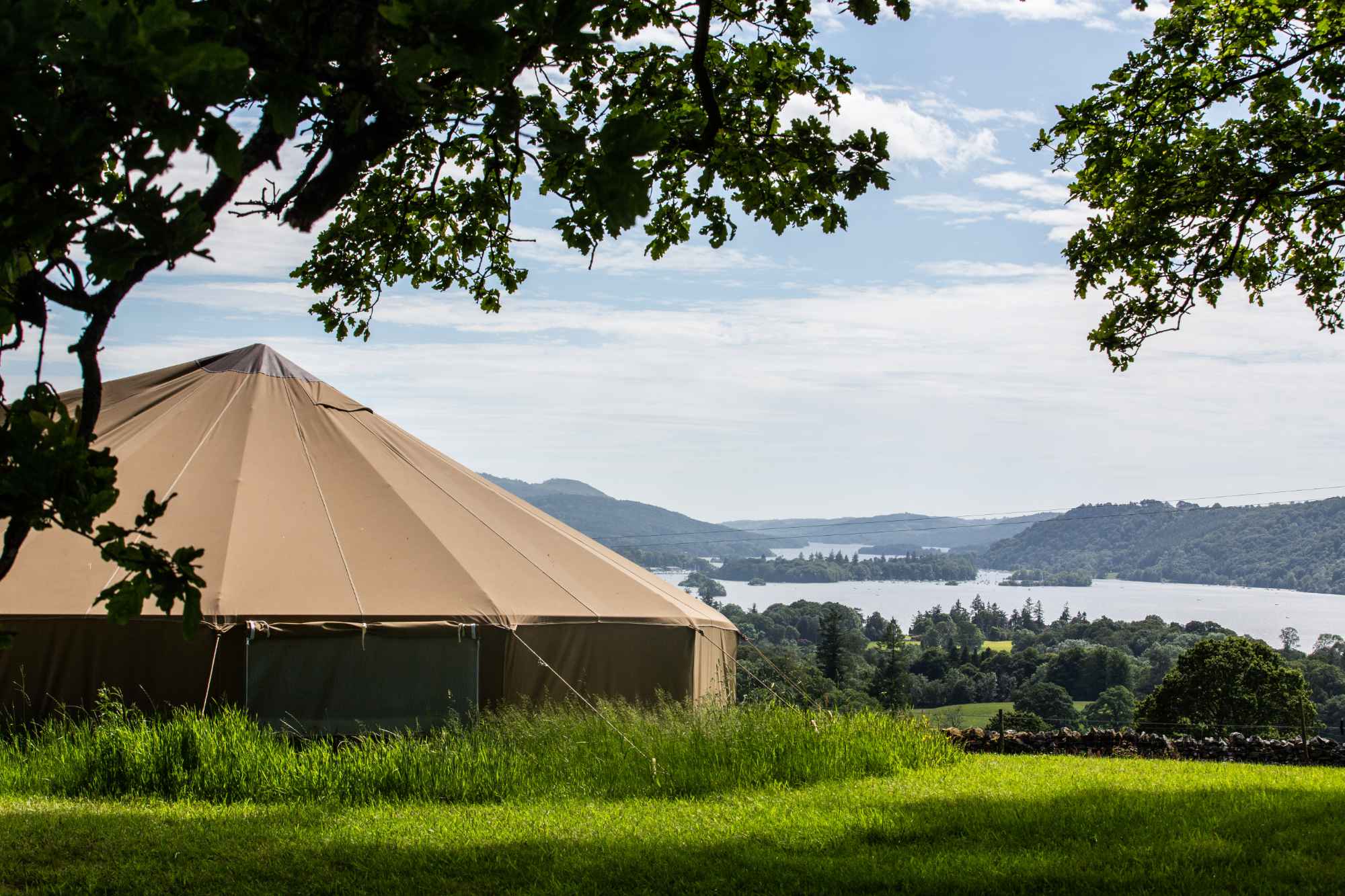
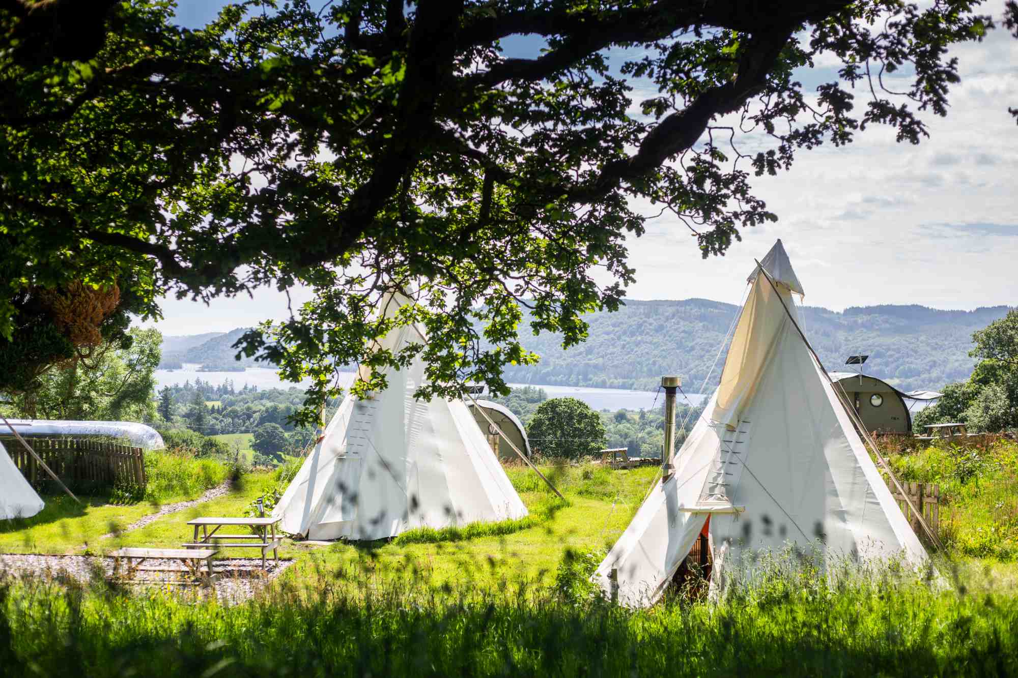
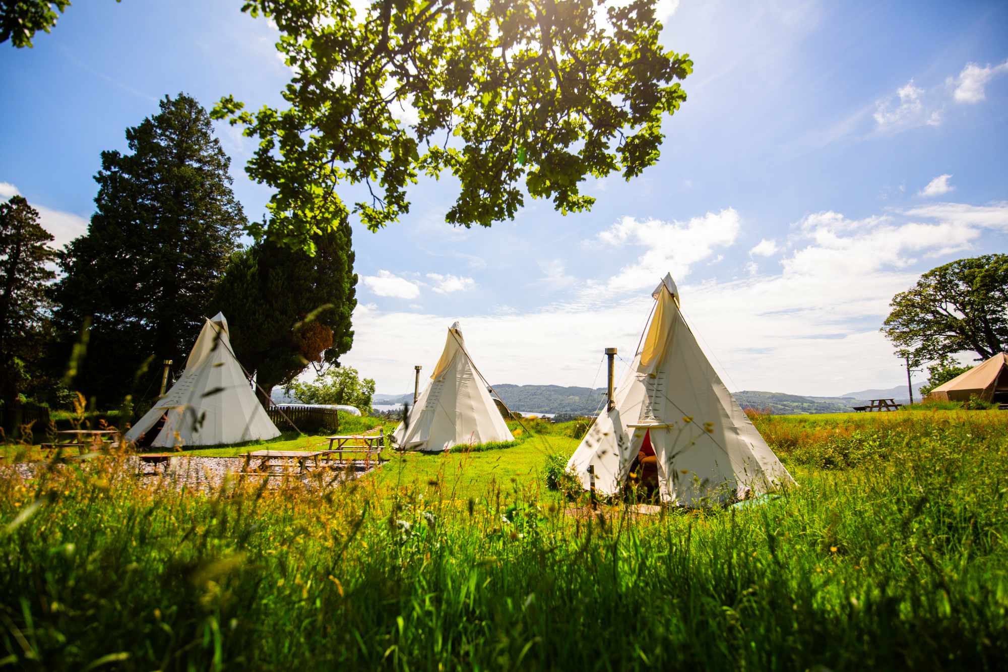
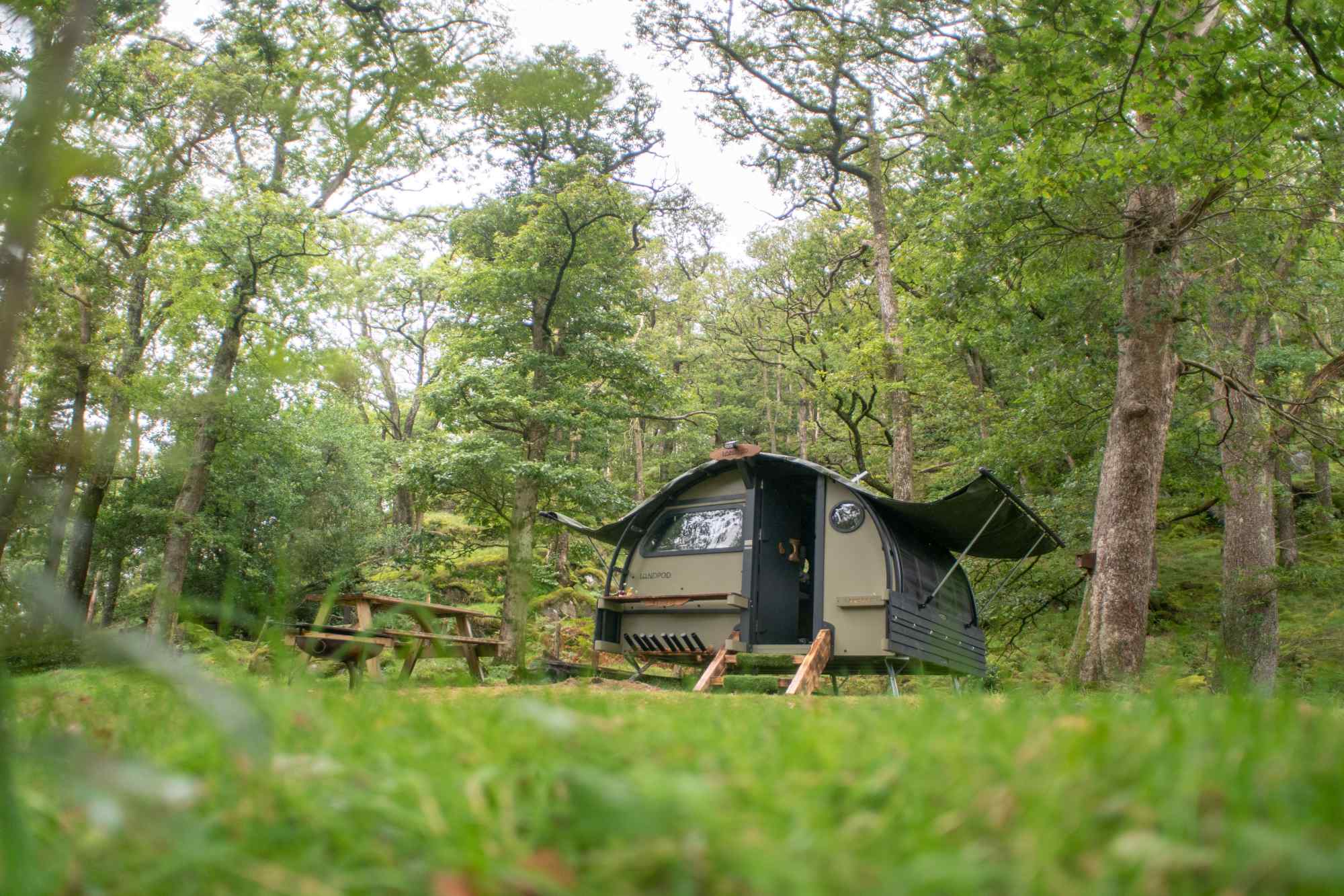
Since then, I have been taking my daughters and their friends to various hostels around the country, taking advantage of the reasonable prices and the ability to self-cater using their kitchens. The accommodation varies from private rooms and dormitories to pods, huts, bell tents and camping.
I saw an appeal for volunteer route-checkers for YHA’s Festival of Walking this autumn. Lockdown had rekindled the joy of walking in some and inspired others to start. YHA created a series of circular walks from around 60 of their hostels to encourage individuals, families, friends, walking groups and communities to visit and go walking. Each of the participating hostels has three mapped walks, an easy/accessible route, a medium route, and a harder route. The walks were developed by staff from the YHA headquarters in conjunction with Ordnance Survey and the British Mountaineering Council.

My first route check was from YHA Okehampton, a lovely hostel in the building of an old railway station alongside the platform. Just as I was staying there, they re-opened the railway line from Okehampton to Exeter, bringing commuters and tourists back to the town. I stayed at the hostel for three nights with one of my daughters and tested three walks while making notes and marking up the draft map.
Although I have been to the area many times before, I discovered a part of Dartmoor that I had never been to. Two of the routes started with a climb up behind the hostel over open moorland to Higher Tor and Belstone Tor. Then the walk went through woodland down alongside the East Okement River with waterfalls and pools that are perfect for wild swimming and picnics.
Armed with a small rucksack, a waterproof coat, the YHA draft route map, an OS map of the area, a water bottle, my phone and picnic lunch, I set off to follow the instructions and photograph the route. I used a combination of the OS map and the OS Locate App on my phone to find my way and pinpoint points of interest and way points along the route. I stopped frequently to make notes, take photos, and enjoy the views. On completion of the walk, I uploaded my notes and photos to the YHA portal which were used to update the route map for future walkers.
The three routes I tested at Okehampton were the easy Tarka Trail, the moderate East Hill and East Okement River route and the challenging Belstone Tor route. I was able to add notes to the maps, giving advice on landmarks along the route, points of interest such as museums, cafes, benches and viewpoints, as well as suggest alternative routes. I thoroughly enjoyed both the walking and the collaborating with YHA to refine the route maps for use by future walkers.
After a few days staying with family in Tavistock we moved on to Minehead to test out the routes from there. The routes from YHA Minehead were quite different from those at YHA Okehampton. Minehead is a more built up seaside resort, so some of the walks followed the promenade and beach before rising above the town to cross moorland and then drop back down to the hostel. Here we discovered a lovely steam railway with stations at Minehead and Dunster. On our return home, I completed all the notes on the walks and submitted my photos and suggestions, which were then added to the official maps for publication.

I really enjoyed my time as a volunteer walking route checker for YHA’s Festival of Walking. It was a fantastic break from my normal working life. I met some like-minded people, discovered stunning areas of the and benefitted from plenty of fresh air and exercise. I also have the satisfaction of having my input included on the route maps for other people to enjoy and of course I got my name on the credits.
Discover the free downloadable route maps.
Written by Toni Chapman, YHA volunteer
Discover more about YHA.
Photo credit: matho / Adobe Stock