There are thousands of kid-friendly walks across the nation offering families an inexpensive great day out. The art of following a walking route, like those below, can provide plenty of fun and curiosity, so why not let the children take control of the map, whether it’s digital or paper.
Navigating with a map is more than just finding your way. By interpreting symbols, scales, and legends, children learn to understand their surroundings, grasp directions, visualise spatial awareness and improve their problem-solving abilities. This not only broadens their geographical knowledge but creates a deeper connection with the environment. But it’s not a solo journey; the whole family can get involved, strengthening bonds and creating lasting memories outside.
Our friends at Ordnance Survey have put together a vast selection of map reading guides for children and have pulled together some fantastic family-friendly walks across England and Wales for you to enjoy. So, rally up the kids, gather your map and navigate your own adventure!
1. Orford and the River Alde
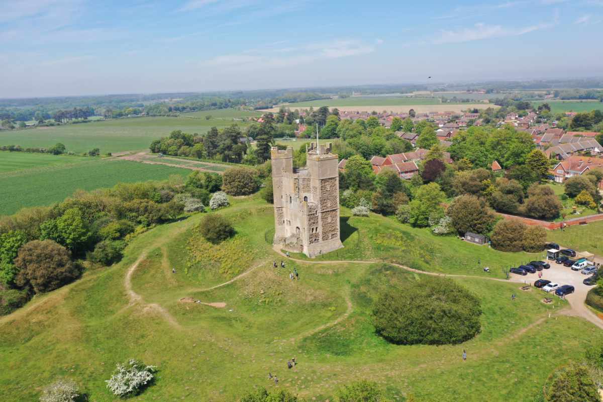
This walk meanders alongside the beautiful River Alde with views over Orfordness Nature Reserve which is home to an abundance of wildlife. On this route you’ll have the change to stops in at the beautiful Orford Castle which you can visit for a fee. Built by Henry II, the castle is in great condition and you can explore its different levels including the basement. There’s also a museum about the local area should you wish to brush up on your history. This is a truly lovely, short walk around one of the cutest towns on the Suffolk coast.
Stay at: YHA Blaxhall
View the OS Maps Orford walk
2. Bath’s nearby woodland

Discover more of the beautiful city of Bath with this figure of eight walk which can be easily split into two circulars if you’re looking for something shorter. It’s a varied route exploring a hidden corner of Bath and allows you to escape the city streets and immerse yourself in nature. You’ll walk through woodland, green open fields and even a cemetery. You can expect a mixture of paved paths and woodland trails which can become a little muddy in winter. There are several steps in the first loop but a step-free route can be taken around the cemetery if needed. Free parking available near the start on Widcombe Hill.
Stay at: YHA Bath
View the OS Maps Bath walk
3. Caer Caradoc Hill
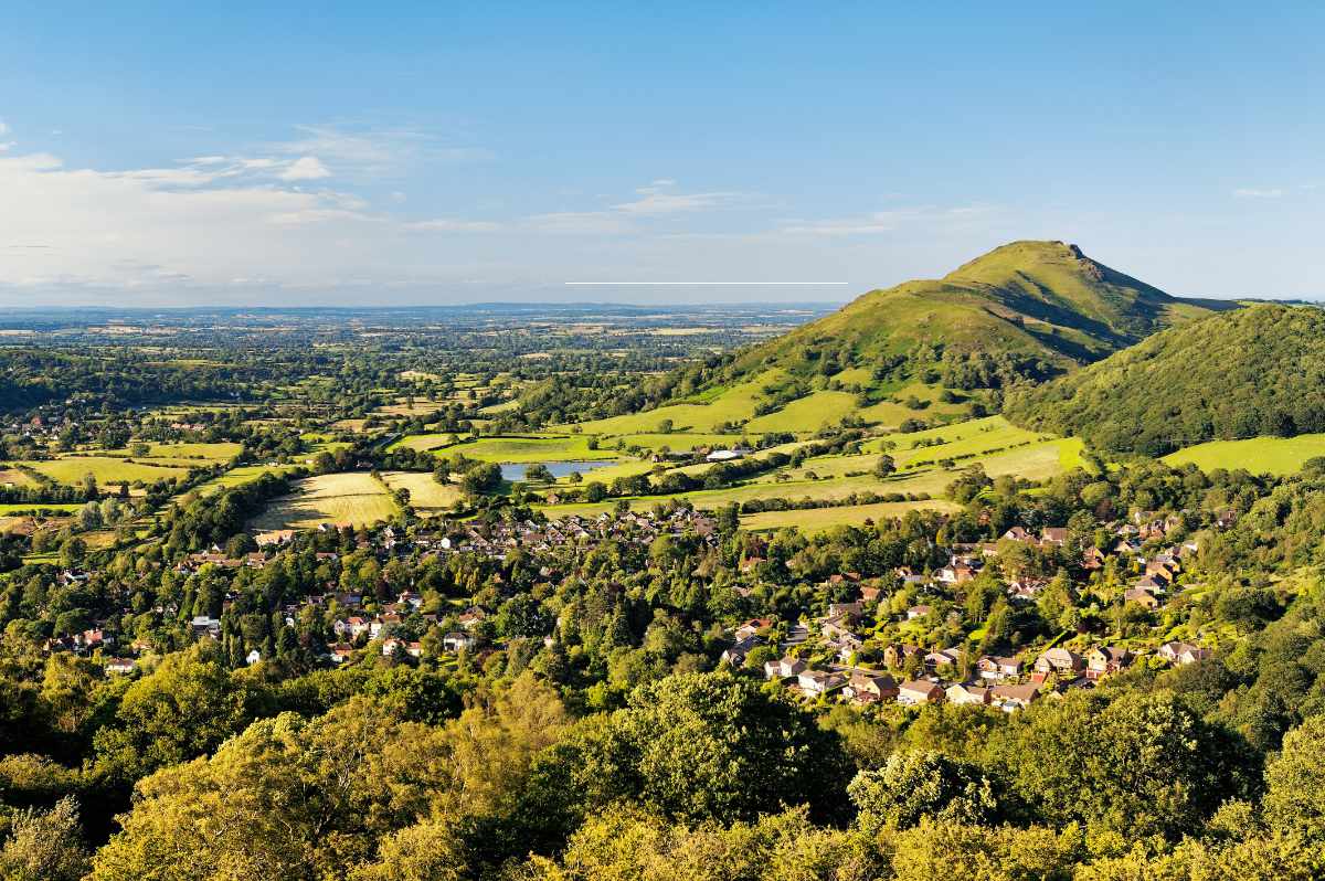
Starting from the delightful town of Church Stretton, this route takes you up Caer Caradoc Hill and back. Rising dramatically, this Shropshire summit makes a great family challenge, and when you see the view from its steep ridge, you’ll understand why it was a hill fort. It’s the perfect spot for a picnic with views over the southern Shropshire hills. As expected, this walk involves a couple of steep climbs and descents but the route is relatively straight forward to follow, sticking to paths, tracks and quiet country lane – making it a great walk for the whole family.
Stay at: YHA All Stretton Bunkhouse
View the OS Maps Caer Caradoc Hill walk
4. River Thames from Cricklade
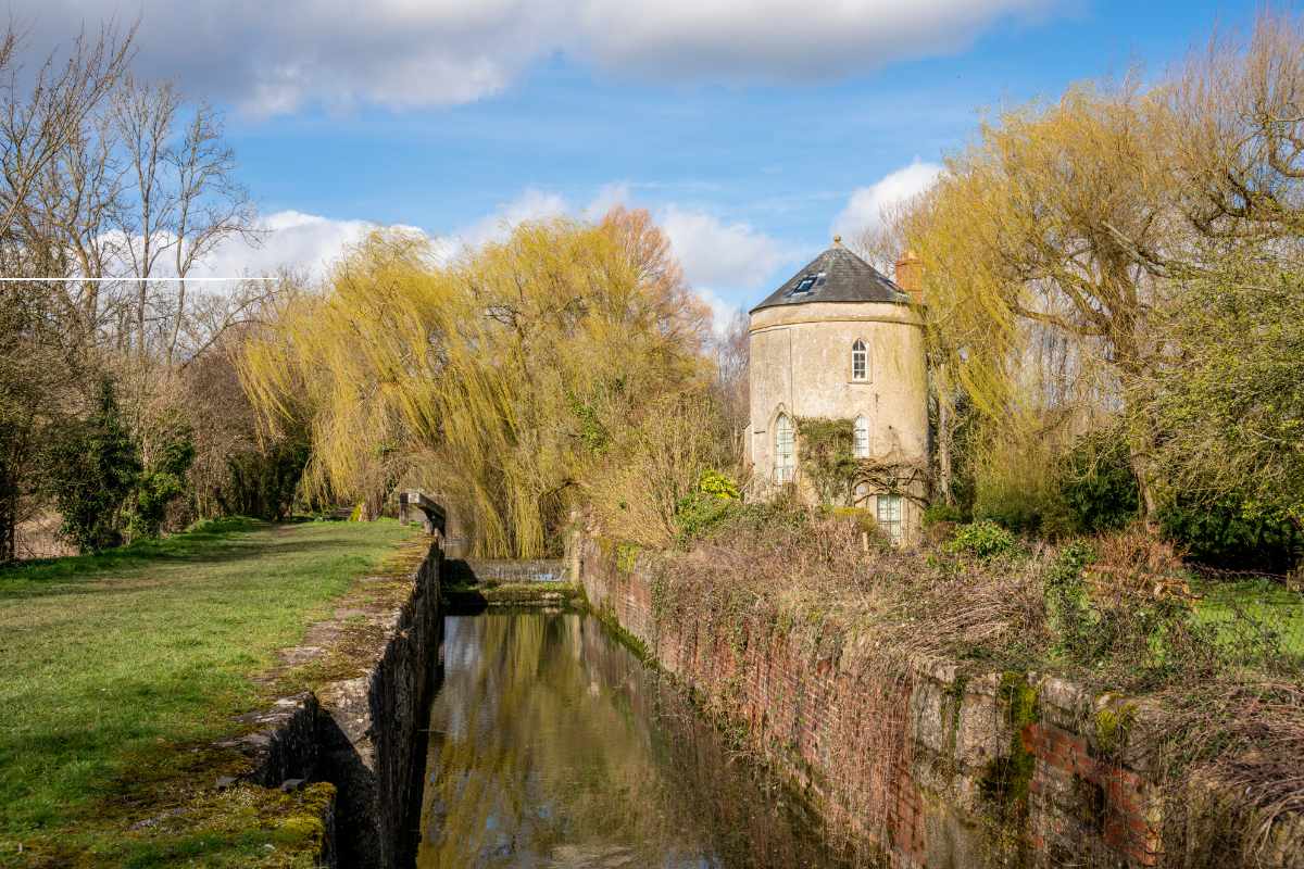
The Saxon town of Cricklade is the first town on the River Thames. From the High Street with its handsome 17th and 18th-century buildings, this walk heads out to Cerney Wick along the former Cirencester Railway, now a cycle and footpath. The return is quite literally water, water everywhere, as you’ll explore the long defunct Thames & Severn and Wiltshire & Berkshire Canals. You’ll also pass a stretch of the infant River Thames across North Meadow which is famous for its flora including the snake’s head fritillary. At the end of this walk you’ll reach the Red Lion Inn, with its very own Hop Kettle Brewery. It’s a flat and easy walk for a leisurely couple of hours of fresh air. Parking can be found on the High Street in Cricklade opposite the Old Bear pub and there are toilets at the start.
Stay at: YHA Cotswolds
View the OS Maps Cricklade walk
5. Buttermere Lake
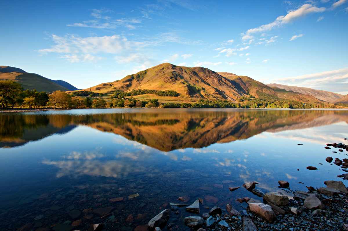
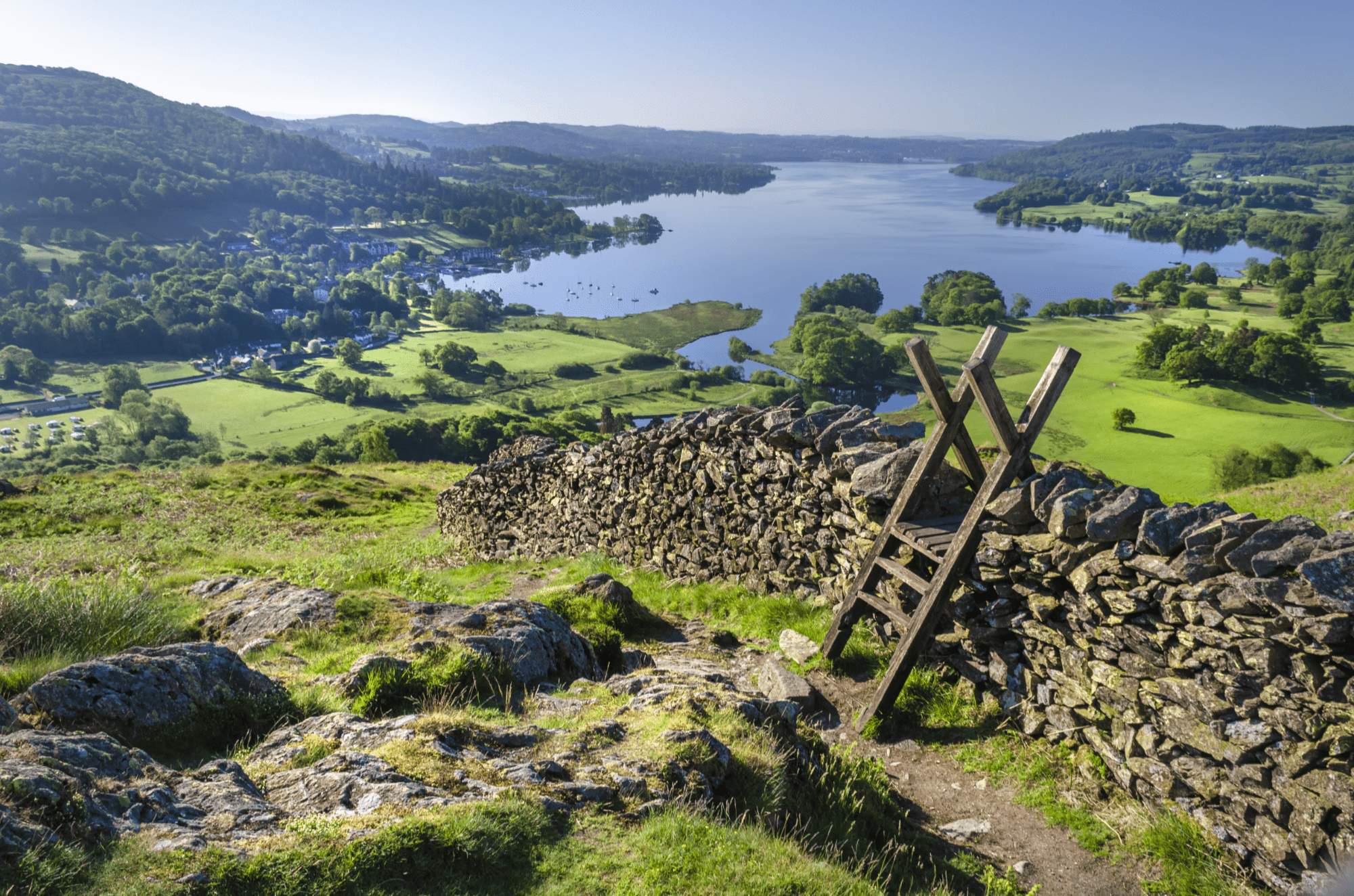
This Buttermere walk must be one of the best lake walks in the Lake District National Park, if not in the UK. The views are stunning from the very start, and the mainly flat paths make it accessible for most.
You’ll initially head down to Buttermere’s north shoreline to find a wonderful full-length view of the lake down to Fleetwith Pike. Next, you’ll pass the nearby Sourmilk Gill before heading down the west shore of Buttermere, which also affords delightful views back across to the mountains rising from the eastern shore of Buttermere. As you round the southern shore, you’ll get great views up to Haystacks and Fleetwith Pike.
The return leg, up the eastern side of Buttermere, is a little rougher underfoot in places and more undulating, but still provides magnificent views back across to Fleetwith pike and Haystacks and then round to High Crag, High Stile and Red Pike, all rising from the Western shore.
Stay at: YHA Buttermere
View the OS Maps Buttermere and Fleetwith Pike walk
6. Seaton Wetlands
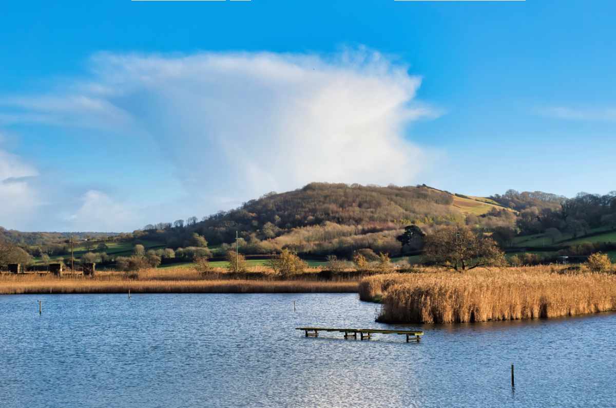
A great walk along flat, well-defined tracks around the Black Hole Marsh Nature Reserve at Seaton Wetlands. It attracts breeding oyster catchers, crustaceans and molluscs that support a wide range of wildfowl and waders. You may also spot an array of birdlife including the dunlin, black tailed godwit and ringed plover. This route provides a fabulous opportunity to see wildlife up close. There are five bird hides and over 2 miles of trails and boardwalks suitable for prams, pushchairs and wheelchairs. Seaton Marsh is home to the Discovery Hut which has an information and education centre, a café, toilets and electric wheelchair hire.
Stay at: YHA Beer
View the OS Maps Seaton Wetlands walk
7. Roystone Grange Trail
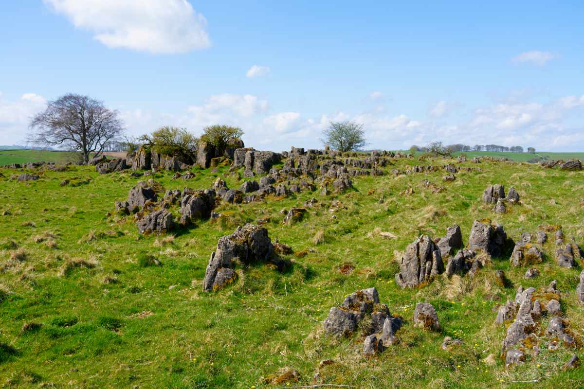
At first glance Roystone Grange looks nothing out of the ordinary – just a typical White Peak valley of the Peak District National Park. There is a rather strange-looking group of trees on a hill to the east, but not much else of note. However, archaeologists from Sheffield University carried out diggings over several years and unearthed evidence of the existence of Roman farms and prehistoric camps, and a medieval grange run by Cistercian monks. The National Park Authority subsequently developed and waymarked the Roystone Grange Trail, which takes you back 6,000 years into history. This gentle family-friendly trail takes you through some fantastic Derbyshire countryside and it’s worth reading up on its history before visiting.
Stay at: YHA Alstonefield
View the OS Maps Royston Grange walk
8. Whitley Castle from Alston
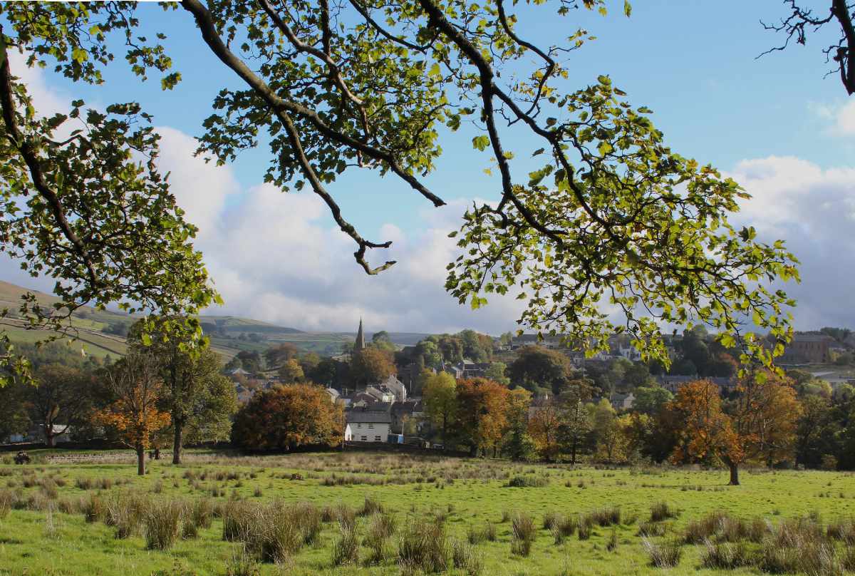
High up and remote in the North Pennines, where the counties of Cumbria and Northumberland join, this charming route takes in Whitley Castle. Situated on a private working farm, It is the highest stone-built Roman fort in Britain and only partially excavated. The site is a Scheduled Ancient Monument dating back to the 2nd century and is protected against further invasive exploration.
Recent surveys have shed some light on its history, including the finding of jet beads and a bronze dolphin thought to have been a tap from the bath house. It therefore retains an air of mystery, with relatively little still known about the many treasures which lie undiscovered below the ground, and it’s an intriguing place to visit for this reason. The Pennine Way passes to the south of the fort and it’s a steep but enjoyable climb from the trail to the top, rewarded with fine views of the surrounding hills. In the valley below, the South Tynedale Railway is England’s highest narrow-gauge railway, and provides an enjoyable, scenic excursion or a good shortcut to the following walk. There are several stiles on route but most of the trail is good underfoot.
Stay at: YHA Alston
View the OS Maps Whitley Castle walk
We hope this has given you a taster of the vast collection of family-friendly walks available across England and Wales, so you can enjoy the fresh air on your next day out with the clan. Teaching children how to map read is a valuable skill that will keep them engaged throughout the entire walk. So, why not try it during your next family adventure!
Ordnance Survey are proud to be the official mapping partner of the YHA Festival of Walking with a range of products and services to make the outdoors more enjoyable, accessible and safe, including their award-winning app, OS Maps.
Discover more about YHA.

