Hillwalking enthusiast Daniel Neilson argues that technology isn’t such a bad thing in the outdoors. Here’s how to make the most of technology.
The great outdoors. It’s for escaping. It’s for disconnecting. It’s a break from our everyday lives of tapping keyboards and buzzing phones, clattering train tracks and beeping horns. To be outside is to wash ourselves in fresh air, it’s to use our mind in analogue ways: paper maps, compasses, to feel the texture of tree bark and granite rather than plastic, glass and aluminum. But it’s not, is it? Not really. When was the last time you went for a walk without your phone? Is technology on the mountain a bad thing, or can it enhance our experiences?
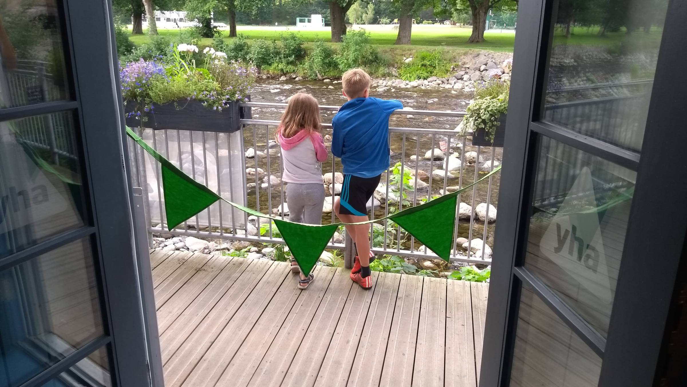
After the last issue of The Journey, we had an email from Bevan, a reader. He’d bookmarked the hostels in our ‘recently refurbished venues’ feature on GoogleMaps. As a cycling enthusiast, he’d used Open Street Maps and added his own details for cycling using the GoMap! iOS app, adding features such as dedicated cycle parking, public taps and repair and supply shops. Alongside GoogleMaps, of course, for routes.
“It’ll never replace proper hiking maps,” he wrote. “But for getting around the roads (when you don’t have signal) this can be a life saver.”
So with this in mind, I wanted to look at the best digital tools for hiking and cycling. If you’re shaking your head and about to flick over the page to browse our hostel guide, I get that. And 100%, you should always carry a paper map and compass when out walking. I always do. But hear me out; technology in the outdoors is great for many reasons.
Planning
Some people (me) enjoy the planning of a walk almost as much as hiking it. Like packing your rucksack, it inspires a sense of expectation. I love poring over maps with a cup of coffee, but I don’t have one for every part of the country (yet). Several online tools make planning anywhere a doddle on a desktop computer. ViewRanger and OS Maps both use Ordnance Survey mapping and the former can also be integrated with Harvey maps. For a subscription to either (including the app), you get OS Landranger 1:50 000 and OS Explorer 1:25 000 mapping for the entire country. Inspired by our South Downs Way feature (p14)? You can draw the route, see the ascent, distance and estimated time for walking, cycling and running. Want to find new routes in the Lake District? No need to buy four paper maps. You can also share the routes with mates and download them on your phone, which leads to safety.
Safety
The benefits for emergencies are obvious for carrying a phone. But how else can they help? If you’re walking in the outdoors, a map and a compass are important, but understanding how to use them is essential. Neither, however, tell you where you are. A compass demonstrates the direction you’re facing, and a map the features around you, but only a geo located app will tell you exactly where you are. Take the free OS Locate for example. It’s a compass, but also shows altitude and, most importantly, your grid reference, with estimated accuracy, to cross reference with your paper map. Have I used it when I’ve been, er, navigationally challenged? Oh yes. And when I’m taking groups I’ll definitely have it on hand.
Another useful safety app is First Aid from British Red Cross. I also use my phone regularly to check the Mountain Weather Information Service and the Met Office’s mountain weather forecast (not available on its app). I’ve canned mountain camps on the basis of updated forecasts. There are also apps, including ViewRanger, that allow live tracking so your family and friends can keep up with you.
Navigation
Worth repeating, but a paper map and compass are essential safety items. Phones and GPS systems can fail for a number of reasons, with the battery life plummeting in the cold. The lack of map size also means you’ll struggle to get an oversight of any changes in route you may need to take. You can also follow either routes you’ve planned or openly available ones that have been uploaded by other people or organisations.
Discover more about YHA.